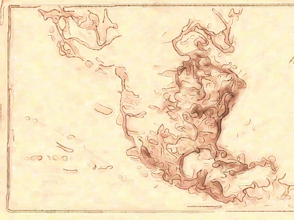
Map of Old Naval Templates: A nautical chart is a graphic representation of a maritime area and adjacent coastal regions. Depending on the scale of the chart, it may show depths of water and heights of land, natural features of the seabed, details of the coastline, navigational hazard.. Map of Old Naval PPT Background and Map of Old Naval Powerpoimt template for your education presentation.
Click to Right on backgrounds / images > Save image As, Save target As, or Save picture As for Download.
